
Crisis Technical Inspection is one of the most critical stages of crisis management. Its main objective is to assess the situation, determine the extent of damages, and support decision‑making for immediate response actions. In emergencies such as earthquakes, floods, large-scale fires, or industrial accidents, timely and accurate information plays a decisive role in reducing human and economic losses. In recent years, emerging technologies such as artificial intelligence (AI), drones, Internet of Things (IoT) sensors, and satellite data analysis have significantly transformed the way crisis inspections are conducted.
- Drones and Computer Vision
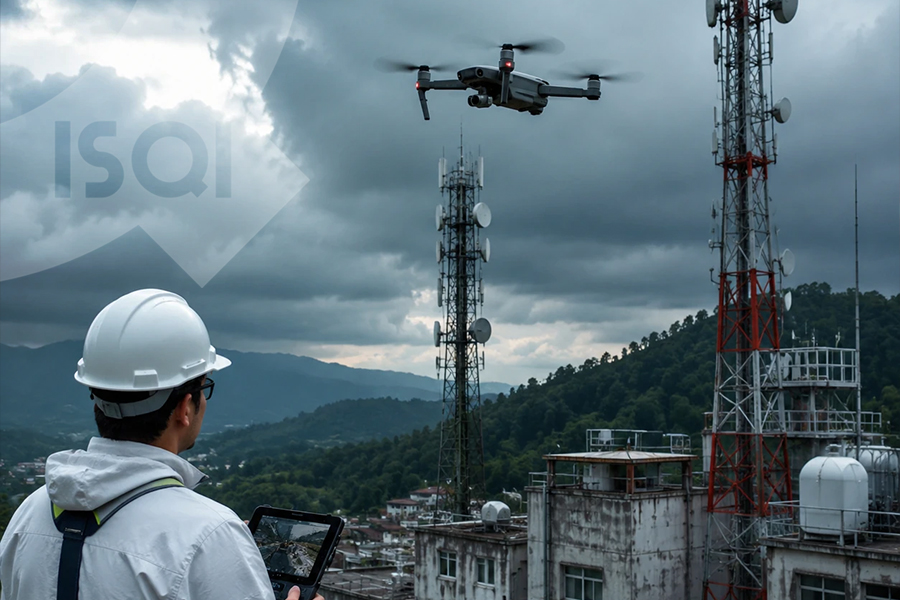
Drones play a vital role in assessing disaster‑affected areas. Their ability to access locations that are difficult or dangerous for humans, capture high‑resolution aerial images, and transmit real‑time data makes the initial inspection after a disaster faster and more accurate. Computer vision technologies applied to drone imagery can automatically detect various types of damage, such as structural cracks, flooded zones, or fire‑affected areas. For instance, after the 2015 Nepal earthquake, drone systems combined with deep learning algorithms were used to generate damage maps with accuracy levels exceeding 85%.
- Smart Sensors and the Internet of Things
IoT systems are widely used in crisis inspection, particularly in industries, dams, and critical infrastructure. Sensors that measure vibration, temperature, pressure, or structural movement can continuously monitor conditions and report anomalies in real time. This allows authorities to respond quickly before a situation escalates into a major disaster. For example, smart dam monitoring systems equipped with advanced sensors can detect water leakage or abnormal pressure changes before structural failure occurs. Integrating these sensors with cloud platforms and analytical dashboards significantly improves the quality and speed of decision‑making.
- Satellite Data and Spatial Analysis
Satellite imagery, especially from remote sensing satellites such as Sentinel and Landsat, has become a key tool in large‑scale disaster monitoring. Through image processing and machine learning techniques, it is possible to rapidly generate maps showing land changes, flood extents, or earthquake damage zones. These datasets are often integrated with Geographic Information Systems (GIS) to produce multilayered decision‑support maps that help emergency teams prioritize their response efforts.
- Artificial Intelligence and Big Data Analytics
During crisis Technical Inspection, vast amounts of data are generated from drones, sensors, satellites, and even social media platforms. Big data analytics and artificial intelligence help process and interpret this information quickly. Machine learning algorithms trained on historical disaster data can identify patterns of damage and predict high‑risk areas. This capability reduces the time needed for damage assessment and improves the efficiency of rescue planning. Today, many emergency management centers and international relief organizations rely on such technologies to support crisis response operations.
- Augmented Reality and Smart Communication
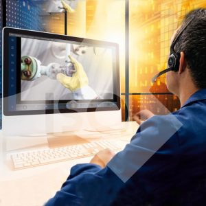
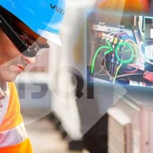
Augmented reality (AR) technologies are emerging tools in crisis inspection. Field inspectors can use AR headsets or mobile devices to visualize three‑dimensional maps of damaged environments while simultaneously receiving real‑time data from sensors and monitoring systems. In addition, modern communication networks such as 5G enable the rapid transmission of large volumes of video and sensor data from disaster areas to command centers, improving coordination and situational awareness.
Conclusion
Technology has transformed crisis inspection from a slow and largely manual process into a faster, more intelligent, and data‑driven system. By enabling rapid data collection, advanced analysis, and informed decision‑making, modern technologies help reduce response time and minimize disaster impacts. The future of crisis Technical Inspection will likely focus on integrating multiple technologies, developing autonomous decision‑support systems, and improving explainable artificial intelligence so that emergency managers can make faster and more reliable decisions in critical situations.
Author: Zahra Shirband – International Relations Expert ISQI
Sources:
– Garg, R., Shukla, N., & Sharma, B. (2016). Use of drones in post‑earthquake damage assessment: A framework for rapid response. Journal of Remote Sensing Applications.
– Joyce, K. E., Belliss, S. E., Samsonov, S. V., McNeill, S. J., & Glassey, P. J. (2009). A review of the status of satellite remote sensing and image processing techniques for mapping natural hazards and disasters. Progress in Physical Geography.
– Zhong, D., Liu, X., & Wang, Q. (2018). Smart monitoring systems for dam safety based on IoT. Water Resources Management.
– Gupta, K., & Jha, S. (2021). The role of 5G and augmented reality in disaster management. IEEE Access.
– Yao, H., Chen, Z., & Li, Y. (2022). Big Data Analytics in Disaster Inspection and Response. International Journal of Information Systems in Crisis Management.